Search results

Map

Choose map: | | Download Centroids / Boundaries / Map (pdf)
Materials presented on this website, particularly maps and territorial information, are as-is and as-available based on available data and do not imply the expression of any opinion whatsoever on the part of the Secretariat of the Ramsar Convention concerning the legal status of any country, territory, city or area, or of its authorities, or concerning the delimitation of its frontiers or boundaries.

List

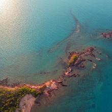
  1. Cobourg Peninsula
    Cobourg Peninsula
    Pier at Black Point, Cobourg Peninsula

    Cobourg Peninsula

    • Country: 
      Australia
    • Designation date: 
      08-05-1974
    • Site number: 
      1
    • Published since: 
      3 year(s)
    220,700 ha
  2. Black Ibis
    Black winged stilt
    Spot-billed pelican nesting site

    Kanjirankulam Bird Sanctuary

    • Country: 
      India
    • Designation date: 
      08-04-2022
    • Site number: 
      2486
    • Published since: 
      2 year(s)
    97 ha
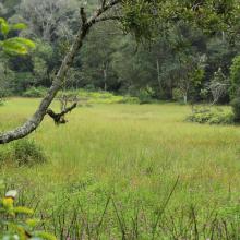
  3. Marshs in Bila River Ramsar Site
    Rivers in Bila River Ramsar Site
    Glassland in Bila River Ramsar Site

    Inner Mongolia Bila River Wetlands

    • Country: 
      China
    • Designation date: 
      03-02-2020
    • Site number: 
      2427
    • Published since: 
      4 year(s)
    56,604 ha
  4. Dniester-Turunchuk Crossrivers Area - Ukraine
    Dniester-Turunchuk Crossrivers Area - Ukraine
    Dniester-Turunchuk Crossrivers Area - Ukraine

    Dniester-Turunchuk Crossrivers Area

    • Country: 
      Ukraine
    • Designation date: 
      28-02-1997
    • Site number: 
      764
    • Published since: 
      3 year(s)
    10,903 ha
  5. Woodland Phlox along LWR slough
    Nesting prothonotary warbler along LWR slough
    Bluff woodland  along LWR
    River paddlers
    Lower Wisconsin Riverway
    Lower Wisconsin Riverway
    Lower Wisconsin Riverway
    Lower Wisconsin Riverway
    Lower Wisconsin Riverway
    Lower Wisconsin Riverway
    Lower Wisconsin Riverway
    Lower Wisconsin Riverway

    Lower Wisconsin Riverway

    • Country: 
      United States of America
    • Designation date: 
      14-02-2020
    • Site number: 
      2417
    • Published since: 
      4 year(s)
    17,700 ha
  6. Kyliiske Mouth
    Kyliiske Mouth
    Kyliiske Mouth
    Kyliiske Mouth
    Kyliiske Mouth
    Kyliiske Mouth
    Kyliiske Mouth
    Kyliiske Mouth
    Kyliiske Mouth
    Kyliiske Mouth
    Kyliiske Mouth
    Kyliiske Mouth
    Kyliiske Mouth

    Kyliiske Mouth

    • Country: 
      Ukraine
    • Designation date: 
      11-10-1976
    • Site number: 
      113
    • Published since: 
      3 year(s)
    44,904 ha
  7. Narran Lake from the air
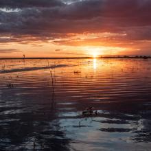
    Sunset and ripples over Narran Lake
    Clear Lake, in dry state
    Lignum at Long Arm, recovering after wetting by flows
    Crinum Flacidum at Narran Lake, note sea eagle nest

    Narran Lake Nature Reserve

    • Country: 
      Australia
    • Designation date: 
      14-06-1999
    • Site number: 
      995
    • Published since: 
      3 year(s)
    8,447 ha
  8. MARAIS DE CHAUTAGNE
    SENTIER SUR PILOTIS - MARAIS DE LAVOURS
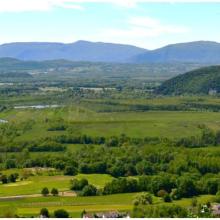
    VUE SUR LE GRAND COLOMBIER DU MARAIS DE LAVOURS
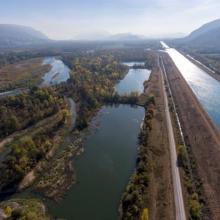
    ÎLE DE CHAUTAGNE-MALOURDIE
    ÎLE DE CHAUTAGNE-MALOURDIE
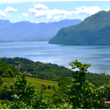
    LAC DU BOURGET

    Lac du Bourget - Marais de Chautagne et de Lavours

    • Country: 
      France
    • Designation date: 
      02-02-2003
    • Site number: 
      1268
    • Published since: 
      1 year(s)
    6,949 ha
  9. Image of the Wetland
    Image of the Wetland
    Grey Heron and Garganey seen in the Karaivetti wetland
    A pair of Black Winged Stilt mating in the Karaivetti wetland
    Painted Stork
    Painted stork foraging in the Karaivetti wetland.

    Karaivetti Bird Sanctuary

    • Country: 
      India
    • Designation date: 
      24-05-2023
    • Site number: 
      2537
    • Published since: 
      1 year(s)
    454 ha
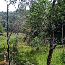
  10. Image of the swamp in the Longwood Shola Reserve Forest
    Image of the swamp in the Longwood Shola Reserve Forest
    Image of the swamp in the Longwood Shola Reserve Forest
    Image of the swamp in the Longwood Shola Reserve Forest
    Image of the steam reaching a swamp in the Longwood Shola Reserve Forest
    Image of the steam in the Longwood Shola Reserve Forest
    Image of the swamp in the Longwood Shola Reserve Forest
    Image of the swamp in the Longwood Shola Reserve Forest

    Longwood Shola Reserve Forest

    • Country: 
      India
    • Designation date: 
      24-05-2023
    • Site number: 
      2538
    • Published since: 
      1 year(s)
    116 ha

Pages

Stats


Exports

Export Sites information

For a summary list of all the Ramsar Sites in pdf format, click here.

Generate reports of selected Sites

You can generate a report based on the filters you have applied, in either pdf or xls format. The report will sort the results by the Site name, unless you have sorted them by another variable.

For the pdfs, you can choose whether to include the introductory text on each Site, or just show the key data in a shorter report.

To receive a report, please provide your email address and enter the text in the verification picture into the textbox.

As soon as the list has been generated an e-mail will be sent to you with the link to access the file.