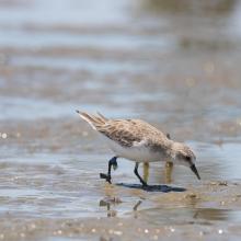
Résultats de la recherche

Carte

Choisir carte: | | Téléchargement Centroids / Boundaries / Carte (pdf)
Le matériel présenté sur ce site web, et en particulier les cartes et l’information territoriale, est tel qu’il apparaît dans les données disponibles et n’implique en aucune manière l’expression d’une opinion quelconque de la part du Secrétariat de la Convention de Ramsar concernant le statut juridique de tout pays, territoire, ville ou zone, ou de ses autorités, ou concernant la délimitation de ses frontières ou limites.

Liste

  1. Mtentu Estuary
    Swamp Forest
    Butsha River
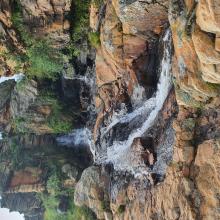
    Horseshoe Falls
    Horseshoe Falls from Aerial view
    Mkambati Falls discharge to the ocean from Aerial view
    Msikaba River
    Four falls from Aerial view
    Mthentu Estuary from Aerial view
    Field trip with community members.
    A stand of Palmiet (Prionium serratum ) growing in one of the many rivers at Mkambati.
    The view from inside one of the swamp forests at Mkambati
    An example of one of the many seep wetlands that can be found at Mkamabti
    Daza River Mouth
    GweGwe River Mouth
    Eriosema dregei
    Impatiens flanaganiae
    Jubaeopsis caffra
    Leucadendron spissifolium subsp. natalense
    Lotononus bachmanniana
    Daza River
    Strandloper Falls
    Looking up to the Strandloper Falls

    Mkambati Nature Reserve

    • Pays: 
      Afrique du Sud
    • Date d’inscription: 
      02-02-2025
    • Numéro du site: 
      2554
    • Publié depuis: 
      0 year(s)
    7'720 ha
  2. Turberas con lagunas en costa norte
    Turbera de Astelia pumila con charcas, zona Moat
    Sistemas lagunares en turbera de Sphagnum magellanicum, zona Lago Bueno
    Blanket bog con lagunas elongadas orientadas y bosque sobre turba.
    Costa oriental del lago Bueno
    Bosque mixto en mágenes de turberas. En primer plano ejemplares de Drimys winteri (canelo), arbustos en flor de Chiliotrichum diffusum y por detrás el bosque siempre verde de Nothofagus betuloides
    Laguna costera de agua dulce obturada por barra costera de grava en costa sur.
    Laguna de turbera de Sphagnum magellanicum y Tentroncium magellanicum
    Turbera de Astelia y Tetroncium con charcas
    Comunidad de Astelia pumila, Donatia fascicularis en floración y la insectívora drosera uniflora (de color rojo)
    Turbera encharcada de Sphagnum magellanicum con abundancia de Tetroncium magellanicum
    Turbera en Valle del río López (costa sur) con abundantes lagunas. Se destaca el bosque en galería en márgenes de los afluentes que cruzan el valle en dirección prácticamente paralela.
    Turbera de Sphagnum en el interior de Península Mitre. Se observan patrones semicirculares que siguen curvas de nivel y numerosoas lagunas. El tramo inferior del bosque en galería se ve degradado por la acción de castores.
    Costa marina en desembocadura del río Bueno. En el centro de la foto se observa una pequeña laguna de agua dulce
    Costa de bahía Slogget, donde la turba fluye para desplomarse sobre la playa. Se aprecia un abundante drenaje no encauzado procedente de la turbera.
    Lagunas en turbera mixta de Sphagnum con parches de Empetrum rubrum.
    Bosque de Macrocystis pyrifera al este de Moat.
    Mágico atardecer en humedal que alcanza la costa norte, en proximidades de bahía Policarpo.

    Península Mitre

    • Pays: 
      Argentine
    • Date d’inscription: 
      20-08-2024
    • Numéro du site: 
      2557
    • Publié depuis: 
      0 year(s)
    369'417 ha
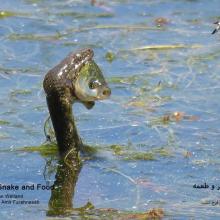
  3. Natrix tessellata hunting fish in Gandoman wetland
    Gandoman Wetland
    Phoenicopterus roseus in Gandoman wetland
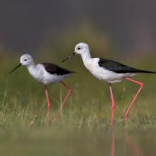
    Himantopus himantopus in Gandoman wetland
    Phalacrocorax carbo in Gandoman wetland
    Vanellus spinosus in Gandoman wetland
    Ardeola ralloides in Gandoman wetland
    Egretta garzetta in Gandoman wetland.
    Himantopus himantopus in Gandoman wetland.
    Podiceps nigricollis in Gandoman wetland.
    Fire Fighting station and Ranger station in Gandoman wetland.
    Bird watching tower in Gandoman wetland.
    Online Surveillance Camera in Gandoman wetland.
    Fulica atra in Gandoman wetland.
    Ciconia ciconia in Gandoman wetland.

    Gandoman

    • Pays: 
      Iran (République islamique d')
    • Date d’inscription: 
      21-07-2024
    • Numéro du site: 
      2558
    • Publié depuis: 
      0 year(s)
    1'070 ha
  4. Montricardia linifera
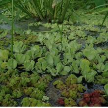
    Phyllantus fluitans la de hojas rojas
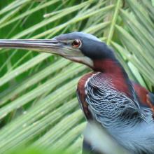
    Agami agami
    Boca del río Balsas, bosques inundables en la ribera del río y planicie inundada herbaceas
    Laguna dentro del Humedal Matusagarati
    Herbazal inundable de Typha dominguensis
    Donacobius atricapilla
    Gira con investigadores
    Bosques inundados de orey y euterpe oleracea
    Panthera onca (jaguar)
    Cochlearius cochlearius

    Complejo de Humedales de Matusagaratí

    • Pays: 
      Panama
    • Date d’inscription: 
      28-06-2024
    • Numéro du site: 
      2566
    • Publié depuis: 
      0 year(s)
    64'750 ha
  5. Lac d'Ambléon
    Marais de Vaux et son sentier sur pilotis
    Marais de Vaux et son sentier sur pilotis
    Marais de Vaux et son sentier sur pilotis
    Tourbière de Cerin
    Combe de Léchaud
    Marais de Sainte Blaizine
    Marais en Jarine
    Marais de Léchères et Teppes
    Marais en Jarine - narcisses
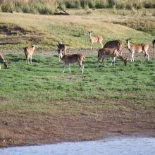
    Etangs de Genevray
    Zones humides de Thézillieu - Salers
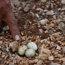
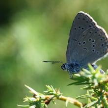
    Azuré de la Croisette - zones humides de Thézillieu
    Crapaud commun - crapauduc temporaire à Thézillieu
    Drosera à feuilles rondes - zones humides de Brénod
    Linaigrette - Combe de Cerin
    Tourbière de la Béroude

    Marais et tourbières des montagnes du Bugey

    • Pays: 
      France
    • Date d’inscription: 
      22-03-2024
    • Numéro du site: 
      2542
    • Publié depuis: 
      1 year(s)
    1'050 ha
  6. Ramsar logo

    Osun-Oshogbo Sacred Grove

    • Pays: 
      Nigéria
    • Date d’inscription: 
      01-03-2024
    • Numéro du site: 
      2563
    • Publié depuis: 
      0 year(s)
    54 ha
  7. View of the lake
    Cercopithecus mona
    Malimbus ibadanensis

    International Institute of Tropical Agriculture (IITA)

    • Pays: 
      Nigéria
    • Date d’inscription: 
      01-03-2024
    • Numéro du site: 
      2551
    • Publié depuis: 
      0 year(s)
    53 ha
  8. Picturesque view of Sekhukhuneland from Steenkampberg Mountane grassland
    Groot Dwars River falls on the upper reaches of the Groot Dwars River
    Ibis falls on the catchment of Everest tributary of the Groot Dwars River
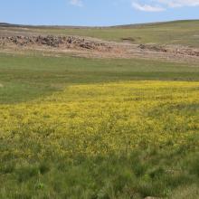
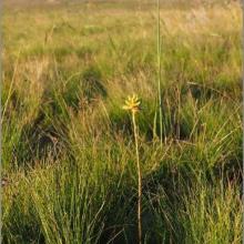
    Newly found plant, Bulbine decastroi, associated with wetlands
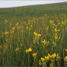
    Bulbine decastroi in full bloom in a wetland on DBNR
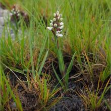
    Disa alticola a plant species of conservation concern with a vulnerable status found at DBNR
    Aloe Modesta, the only sweetly scented aloe in Africa, found on DBNR
    Bright yellow inflorescence of Bulbine decastroi
    High altitude sheetrock seep wetland found on DBNR
    Newly found, undescribed  Ledebouria sp. nov. ‘noritica’ ined. found on Sheetrock wetland habitat on norite on DBNR
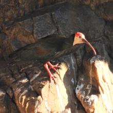
    Breeding colony of Southern Bald Ibis at Ibis falls on DBNR
    Southern Bald ibis chick on nest as well as an egg in an adjacent nest at the breeding colony on Ibis falls
    Bulbine decastroi with spectacular inflorescence
    Patches of Afromontane Forest
    Numerous hillslope seep wetlands occur at DBNR
    Clear waters of the upland rivers at DBNR

    De Berg Nature Reserve

    • Pays: 
      Afrique du Sud
    • Date d’inscription: 
      02-02-2024
    • Numéro du site: 
      2532
    • Publié depuis: 
      1 year(s)
    1'265 ha
  9. Back water of Tawa Reservoir
    Flock of Painted Stork, back water of Denwa river
    Spotted dear in Tawa Reservoir, Satpura Tiger Reserve
    Nesting site of River Tern (Birds) in the small Island of Tawa

    Tawa Reservoir

    • Pays: 
      Inde
    • Date d’inscription: 
      08-01-2024
    • Numéro du site: 
      2547
    • Publié depuis: 
      0 year(s)
    20'050 ha
  10. Shellfishes
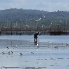
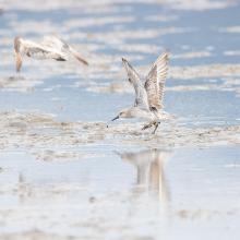
    Waterbirds
    Mangroves
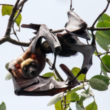
    Nursing Acerodon jubatus
    Roosting site of flying fox in Siay, Sibugay - host to the largest flying fox roost in the Philippines. Mix roost of Acerodon jubatus, Pteropus vampyrus & Pteropus hypomelanus.
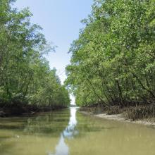
    Mangroves at Talusan area -protecting the community and supporting their fishery needs.
    Vast Mudflat of Sibugay Wetland Nature Reserve
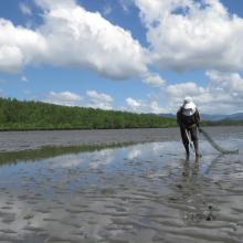
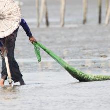
    Shell gathering - a typical activity of the local community during low tide.
    Great Knot with 4TW inscription on yellow flag banded banded in Roebuck Bay, North-West Australia
    First reported resighting of Red Knot with AC inscription on yellow flag banded in Chongming Dao, Shanghai, China on April 18, 2014. Documented in the wetland from 2018-2022.
    Red-necked Stint banded at Komuke marsh, Koguchi, Kumanoue, Monbetsu, Hokkaido pref., Japan
    Ruddy Turnstone with J8 inscription on white flag was banded at Han Pao, Changhwa County, Taiwan on August 7, 2018. Resighted in Sibugay Wetland Nature Reserve from 2018-2021.
    Collage photos of SWNR at your service

    Sibugay Wetland Nature Reserve

    • Pays: 
      Philippines
    • Date d’inscription: 
      08-01-2024
    • Numéro du site: 
      2552
    • Publié depuis: 
      0 year(s)
    175'551 ha

Pages

Stats


Exports

Exportation d’informations sur les Sites Ramsar

Pour une liste résumée de tous les Sites Ramsar en format pdf, cliquez ici.

Générer des rapports sur un choix de Sites Ramsar

Vous pouvez générer un rapport à partir des filtres choisis, soit en pdf, soit en xls. Le rapport classera les résultats par noms de sites à moins que vous n’ayez choisi une autre variable de tri.

Pour les pdf, vous pouvez choisir d’inclure le texte d’introduction de chaque site ou seulement les données principales dans un rapport plus court.

Afin de recevoir la liste des sites Ramsar que vous avez sélectionnés, veuillez SVP nous fournir votre courriel et entrer le texte que vous voyez dans l'image de vérification dans la zone de texte.

Une foi la liste créée, un courriel vous sera envoyé contenant le lien pour accéder au fichier. Cela ne devrait pas prendre plus de 10 minutes.