Résultats de la recherche

Carte

Choisir carte: | | Téléchargement Centroids / Boundaries / Carte (pdf)
Le matériel présenté sur ce site web, et en particulier les cartes et l’information territoriale, est tel qu’il apparaît dans les données disponibles et n’implique en aucune manière l’expression d’une opinion quelconque de la part du Secrétariat de la Convention de Ramsar concernant le statut juridique de tout pays, territoire, ville ou zone, ou de ses autorités, ou concernant la délimitation de ses frontières ou limites.

Liste

  1. Ramsar logo

    Angola accession site

    • Pays: 
      Angola
    • Date d’inscription: 
    • Numéro du site: 
      9997
    • Publié depuis: 
      3 year(s)
    0 ha
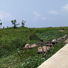
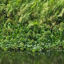
  2. A view of Arinta Waterfall
    A view of Arinta Waterfall
    Entrance to Arinta Waterfall
    Vegetation around Arinta Waterfall

    Arinta Waterfall

    • Pays: 
      Nigéria
    • Date d’inscription: 
      01-03-2024
    • Numéro du site: 
      2565
    • Publié depuis: 
      0 year(s)
    181 ha
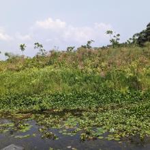
  3. Ebute Oni Coastal Wetland
    Ebute Oni Coastal Wetland
    Ebute Oni Coastal Wetland
    Ebute Oni Coastal wetland

    Ebute Oni coastal Wetland

    • Pays: 
      Nigéria
    • Date d’inscription: 
      01-03-2024
    • Numéro du site: 
      2564
    • Publié depuis: 
      0 year(s)
    103 ha
  4. Ramsar logo

    Osun-Oshogbo Sacred Grove

    • Pays: 
      Nigéria
    • Date d’inscription: 
      01-03-2024
    • Numéro du site: 
      2563
    • Publié depuis: 
      0 year(s)
    54 ha
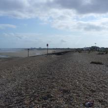
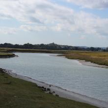
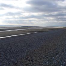
  5. Dungeness and Rye Bay Ramsar Site: east coast inter-tidal and foreshore habitat
    Dungeness and Rye Bay Ramsar Site: flooded gravel pits
    Dungeness and Rye Bay Ramsar Site: River Rother intertidal habitats
    Dungeness and Rye Bay Ramsar Site: Rye Bay intertidal sand and mud
    Dungeness and Rye Bay Ramsar Site: Rye Bay looking towards Hastings

    Dungeness, Romney Marsh and Rye Bay

    • Pays: 
      Royaume-Uni de Grande-Bretagne et d'Irlande du Nord
    • Date d’inscription: 
      30-03-2016
    • Numéro du site: 
      2555
    • Publié depuis: 
      0 year(s)
    6'378 ha
  6. Shellfishes
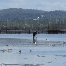
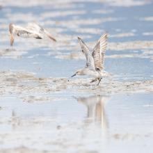
    Waterbirds
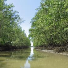
    Mangroves
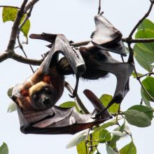
    Nursing Acerodon jubatus
    Roosting site of flying fox in Siay, Sibugay - host to the largest flying fox roost in the Philippines. Mix roost of Acerodon jubatus, Pteropus vampyrus & Pteropus hypomelanus.
    Mangroves at Talusan area -protecting the community and supporting their fishery needs.
    Vast Mudflat of Sibugay Wetland Nature Reserve
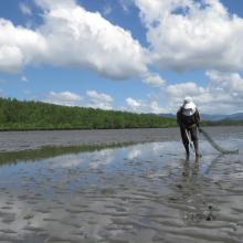
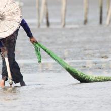
    Shell gathering - a typical activity of the local community during low tide.
    Great Knot with 4TW inscription on yellow flag banded banded in Roebuck Bay, North-West Australia
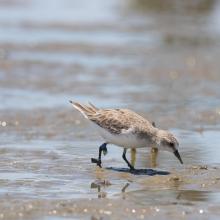
    First reported resighting of Red Knot with AC inscription on yellow flag banded in Chongming Dao, Shanghai, China on April 18, 2014. Documented in the wetland from 2018-2022.
    Red-necked Stint banded at Komuke marsh, Koguchi, Kumanoue, Monbetsu, Hokkaido pref., Japan
    Ruddy Turnstone with J8 inscription on white flag was banded at Han Pao, Changhwa County, Taiwan on August 7, 2018. Resighted in Sibugay Wetland Nature Reserve from 2018-2021.
    Collage photos of SWNR at your service

    Sibugay Wetland Nature Reserve

    • Pays: 
      Philippines
    • Date d’inscription: 
      08-01-2024
    • Numéro du site: 
      2552
    • Publié depuis: 
      0 year(s)
    175'551 ha
  7. A view of Iyake Lake
    Entrance of Ado hill

    Ado-Awaye (Iyake) Suspended Lake Wetland

    • Pays: 
      Nigéria
    • Date d’inscription: 
      01-03-2024
    • Numéro du site: 
      2550
    • Publié depuis: 
      0 year(s)
    165 ha
  8. Back water of Tawa Reservoir
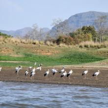
    Flock of Painted Stork, back water of Denwa river
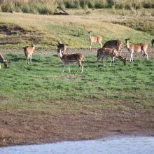
    Spotted dear in Tawa Reservoir, Satpura Tiger Reserve
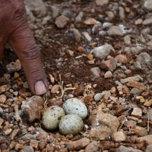
    Nesting site of River Tern (Birds) in the small Island of Tawa

    Tawa Reservoir

    • Pays: 
      Inde
    • Date d’inscription: 
      08-01-2024
    • Numéro du site: 
      2547
    • Publié depuis: 
      0 year(s)
    20'050 ha
  9. Lake Julturbas
    reed beds on the lake Julturbas
    fishermen on the lake Julturbas

    Lake Julturbas

    • Pays: 
      Ouzbékistan
    • Date d’inscription: 
      08-08-2022
    • Numéro du site: 
      2541
    • Publié depuis: 
      1 year(s)
    64'715 ha
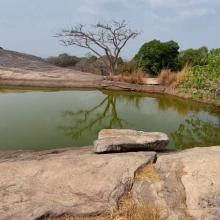
  10. A view of Barm Alvan wetland
    A view of Barm Alvan wetland
     view of a natural water hole around of Barm Alvan wetland

    Barm Alvan

    • Pays: 
      Iran (République islamique d')
    • Date d’inscription: 
      13-02-2022
    • Numéro du site: 
      2539
    • Publié depuis: 
      1 year(s)
    20 ha

Pages

Stats


Exports

Exportation d’informations sur les Sites Ramsar

Pour une liste résumée de tous les Sites Ramsar en format pdf, cliquez ici.

Générer des rapports sur un choix de Sites Ramsar

Vous pouvez générer un rapport à partir des filtres choisis, soit en pdf, soit en xls. Le rapport classera les résultats par noms de sites à moins que vous n’ayez choisi une autre variable de tri.

Pour les pdf, vous pouvez choisir d’inclure le texte d’introduction de chaque site ou seulement les données principales dans un rapport plus court.

Afin de recevoir la liste des sites Ramsar que vous avez sélectionnés, veuillez SVP nous fournir votre courriel et entrer le texte que vous voyez dans l'image de vérification dans la zone de texte.

Une foi la liste créée, un courriel vous sera envoyé contenant le lien pour accéder au fichier. Cela ne devrait pas prendre plus de 10 minutes.