Search results

Map

Choose map: | | Download Centroids / Boundaries / Map (pdf)
Materials presented on this website, particularly maps and territorial information, are as-is and as-available based on available data and do not imply the expression of any opinion whatsoever on the part of the Secretariat of the Ramsar Convention concerning the legal status of any country, territory, city or area, or of its authorities, or concerning the delimitation of its frontiers or boundaries.

List

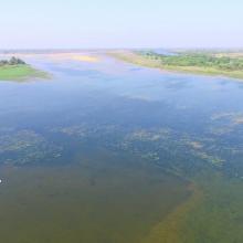
  1. Negros Occidental Coastal Wetlands and waterbirds within the Municipality of Ilog.
    Negros Occidental Coastal Wetlands and waterbirds within the Municipality of Ilog.

    Negros Occidental Coastal Wetlands Conservation Area (NOCWCA)

    • Country: 
      Philippines
    • Designation date: 
      20-10-2016
    • Site number: 
      2271
    • Published since: 
      8 year(s)
    89,608 ha
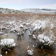
  2. Southern part of Heden seen towards north.
    The Tyskit Nunaat-area with many ponds and breeding habitat for Sabines Gull.

    Heden

    • Country: 
      Denmark (Greenland)
    • Designation date: 
      27-01-1988
    • Site number: 
      389
    • Published since: 
      6 year(s)
    261,852 ha
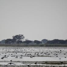
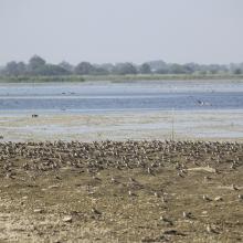
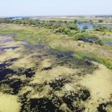
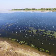
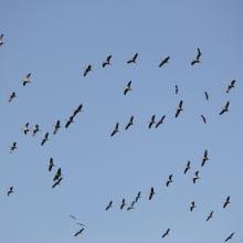
  3. NMWLS Wetland Aerial View
    Riverine Forest
    Birds Flock
    Ducks Assemblage
    Comman Crane Flock
    Small Pratincole Flock
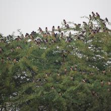
    Rosy Starling Flock

    Nandur Madhameshwar

    • Country: 
      India
    • Designation date: 
      21-06-2019
    • Site number: 
      2410
    • Published since: 
      5 year(s)
    1,437 ha
  4. oasis de Sid Ahmed Timmi

    Oasis de Tamantit et Sid Ahmed Timmi

    • Country: 
      Algeria
    • Designation date: 
      02-02-2001
    • Site number: 
      1061
    • Published since: 
      6 year(s)
    95,700 ha
  5. View of Bobby Pond and surrounding vegetation
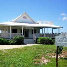
    View of Bobby Pond Nature Reserve National Trust visitor centre
    View of Red-footed booby chick on nest in the Bobby Pond and Rookery Ramsar Site

    Booby Pond and Rookery

    • Country: 
      United Kingdom of Great Britain and Northern Ireland (Overseas territories)
    • Designation date: 
      21-09-1994
    • Site number: 
      702
    • Published since: 
      0 year(s)
    82 ha
  6. Vaipu Swamp Forests Conservation Area
    Merremia peltata impacted the natural vegetation of the Vaipu Swamp
    Scarlet Robin (Petroica multicolor)

    Vaipu Swamp Conservation Area

    • Country: 
      Samoa
    • Designation date: 
      10-11-2023
    • Site number: 
      2530
    • Published since: 
      1 year(s)
    278 ha
  7. Embouchure de la Moulouya
    Embouchure de la Moulouya
    Embouchure de la Moulouya

    Embouchure de la Moulouya

    • Country: 
      Morocco
    • Designation date: 
      15-01-2005
    • Site number: 
      1478
    • Published since: 
      0 year(s)
    2,340 ha
  8. x
    Shallow waters off  the coast in Pulu Keeling National Park. Photo by Robert Thorn (date unknown).
    Plate coral in the Pulu Keeling National Park. Photo by Robert Thorn (date unknown).
    Masked booby with eggs in the Pulu Keeling National Park.  Photo by Robert Thorn (date unknown).
    Green turtle in the Pulu Keeling National Park. Photo by Robert Thorn (date unknown).

    Pulu Keeling National Park

    • Country: 
      Australia
    • Designation date: 
      17-03-1996
    • Site number: 
      797
    • Published since: 
      0 year(s)
    2,603 ha
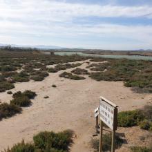
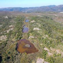
  9. Vue aérienne de la Réserve Naturelle des Tre Padule de Suartone
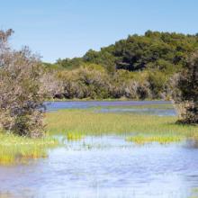
    Vue de la mare de Tre Padule Est
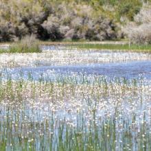
    Vue de Ranunculus peltatus au premier plan de la mare de Padule Maggiore
    Vue du plateau de Campu celi et de trois mares temporaires de la réserve naturelle
    Mare de Tre Padule Est en phase inondée
    Vue aérienne des Tre Paduli
    Ruisseau temporaire de Campu Celi
    Mare de Tre Padule Est au printemps
    Végétation de la mare en phase inondée
    Mare de Tre Padule Est en hiver
    Padule Maggiore sous la neige

    Mares temporaires de Tre Padule de Suartone

    • Country: 
      France
    • Designation date: 
      02-02-2007
    • Site number: 
      1651
    • Published since: 
      2 year(s)
    218 ha
  10. Marais salants du Mès
    Marais amont du Mès
    Marais salants de Guérande
    Marais salants du Mès

    Marais salants de Guérande et du Mès

    • Country: 
      France
    • Designation date: 
      01-09-1995
    • Site number: 
      746
    • Published since: 
      2 year(s)
    5,043 ha

Pages

Stats


Exports

Export Sites information

For a summary list of all the Ramsar Sites in pdf format, click here.

Generate reports of selected Sites

You can generate a report based on the filters you have applied, in either pdf or xls format. The report will sort the results by the Site name, unless you have sorted them by another variable.

For the pdfs, you can choose whether to include the introductory text on each Site, or just show the key data in a shorter report.

To receive a report, please provide your email address and enter the text in the verification picture into the textbox.

As soon as the list has been generated an e-mail will be sent to you with the link to access the file.