Search results

Map

Choose map: | | Download Centroids / Boundaries / Map (pdf)
Materials presented on this website, particularly maps and territorial information, are as-is and as-available based on available data and do not imply the expression of any opinion whatsoever on the part of the Secretariat of the Ramsar Convention concerning the legal status of any country, territory, city or area, or of its authorities, or concerning the delimitation of its frontiers or boundaries.

List

  1. inséré le 27 juin 2016
    inséré le 27 juin 2016
    inséré le 27 juin 2016
    inséré le 27 juin 2016

    Akanda

    • Country: 
      Gabon
    • Designation date: 
      02-02-2007
    • Site number: 
      1652
    • Published since: 
      0 year(s)
    54,000 ha
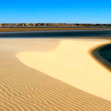
  2. Baie de Dakhla
    Baie de Dakhla

    Baie d'Ad-Dakhla

    • Country: 
      Morocco
    • Designation date: 
      15-01-2005
    • Site number: 
      1470
    • Published since: 
      0 year(s)
    61,010 ha
  3. paysage du marais
    moulin et gestion hydraulique
    les maisons sur les îles
    vol de cygnes au dessus d'une rivière
    Saules têtards sous la neige
    Moulin d'exhaure de la Ferme du Zuidbrouck
    Héron garde-boeuf sur barrière flamande

    Le Marais audomarois

    • Country: 
      France
    • Designation date: 
      15-09-2008
    • Site number: 
      1835
    • Published since: 
      0 year(s)
    3,726 ha
  4. Montricardia linifera
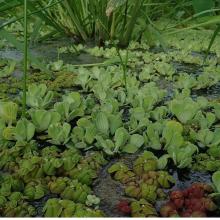
    Phyllantus fluitans la de hojas rojas
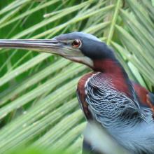
    Agami agami
    Boca del río Balsas, bosques inundables en la ribera del río y planicie inundada herbaceas
    Laguna dentro del Humedal Matusagarati
    Herbazal inundable de Typha dominguensis
    Donacobius atricapilla
    Gira con investigadores
    Bosques inundados de orey y euterpe oleracea
    Panthera onca (jaguar)
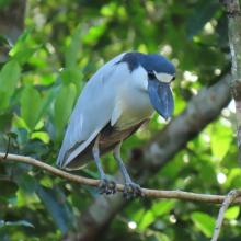
    Cochlearius cochlearius

    Complejo de Humedales de Matusagaratí

    • Country: 
      Panama
    • Designation date: 
      28-06-2024
    • Site number: 
      2566
    • Published since: 
      0 year(s)
    64,750 ha
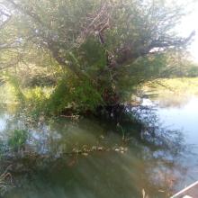
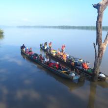
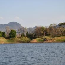
  5. Back water of Tawa Reservoir
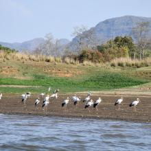
    Flock of Painted Stork, back water of Denwa river
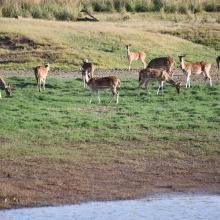
    Spotted dear in Tawa Reservoir, Satpura Tiger Reserve
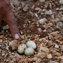
    Nesting site of River Tern (Birds) in the small Island of Tawa

    Tawa Reservoir

    • Country: 
      India
    • Designation date: 
      08-01-2024
    • Site number: 
      2547
    • Published since: 
      0 year(s)
    20,050 ha
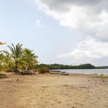
  6. Lagunes
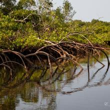
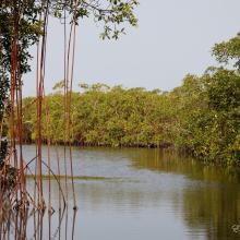
    Mangroves
    Mangroves
    Océan
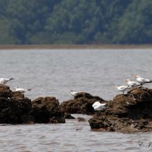
    Oiseaux d'eaux

    Pongara

    • Country: 
      Gabon
    • Designation date: 
      02-02-2007
    • Site number: 
      1653
    • Published since: 
      0 year(s)
    96,302 ha
  7. Coral Reef, Coral Sea. Photo by Australian Customs Service (date of image unknown).
    Lihou Reef, Coral Sea. Photo by Australian Customs Service (date of image unknown).
    Coral Sea Ramsar site sign. Photo by Parks Australia (date of image unknown).

    Coral Sea Reserves

    • Country: 
      Australia
    • Designation date: 
      21-10-2002
    • Site number: 
      1222
    • Published since: 
      0 year(s)
    1,728,920 ha
  8. Bande de Dendrocygnes fauves au bord du lac Débo
    Forêt inondée à Acacia kirkii (Akagoun – Youwarou)
    Une vue du Delta Intérieur du fleuve Niger au Mali
    Limicoles
    Akagoun en étiage
    x
    x
    x
    x
    Tombouctou
    Poisson DIN
    les nénuphars du delta
    Acacia Kirkii
    Peuplement d'Acacia kirkii

    Delta Intérieur du Niger

    • Country: 
      Mali
    • Designation date: 
      01-02-2004
    • Site number: 
      1365
    • Published since: 
      0 year(s)
    4,119,500 ha
  9. Ramsar logo

    Parque Nacional Isla Contoy

    • Country: 
      Mexico
    • Designation date: 
      27-11-2003
    • Site number: 
      1323
    • Published since: 
      21 year(s)
    5,126 ha
  10. Marais Vernier
    Embouchure de la Risle
    Courtils au marais Vernier

    Marais Vernier et Vallée de la Risle maritime

    • Country: 
      France
    • Designation date: 
      18-12-2015
    • Site number: 
      2247
    • Published since: 
      9 year(s)
    9,564 ha

Pages

Stats


Exports

Export Sites information

For a summary list of all the Ramsar Sites in pdf format, click here.

Generate reports of selected Sites

You can generate a report based on the filters you have applied, in either pdf or xls format. The report will sort the results by the Site name, unless you have sorted them by another variable.

For the pdfs, you can choose whether to include the introductory text on each Site, or just show the key data in a shorter report.

To receive a report, please provide your email address and enter the text in the verification picture into the textbox.

As soon as the list has been generated an e-mail will be sent to you with the link to access the file.