Resultados de la búsqueda

Mapa

Elegir mapa: | | Descargar Centroids / Boundaries / Mapa (pdf)
Los materiales presentados en este sitio web, particularmente los mapas y la información territorial, se proporcionan tal cual y según están disponibles a partir de los datos de los que se dispone y no implican la expresión de opinión alguna por parte de la Secretaría de la Convención de Ramsar respecto de la condición jurídica de ningún país, territorio, ciudad o zona, ni de sus autoridades, ni respecto de la delimitación de sus límites o fronteras.

Lista

  1. Turtle Release
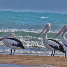
    Migratory Bird
    Timor Deer in Menipo Island
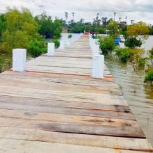
    Road to Jetty
    Timor Deer
    Cacatua sulphurea
    Cacatua sulphurea

    Menipo Nature Recreational Park

    • País: 
      Indonesia
    • Fecha de designación: 
      22-04-2024
    • Número del sitio: 
      2543
    • Publicado hace: 
      1 year(s)
    2,450 ha
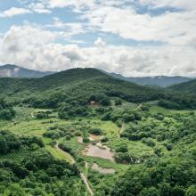
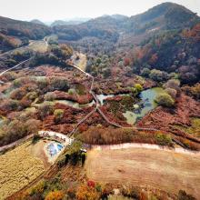
  2. Mungyeong Doline Wetland formed in a doline area, which is rare for wetlands
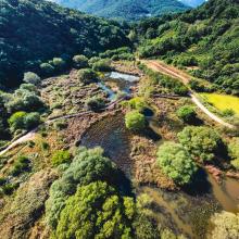
    Mungyeong Doline Wetland with colorful rice paddy
    Mungyeong Doline Wetland with colorful trees in autumn

    Mungyeong Doline Wetland

    • País: 
      República de Corea
    • Fecha de designación: 
      02-02-2024
    • Número del sitio: 
      2540
    • Publicado hace: 
      1 year(s)
    49 ha
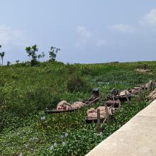
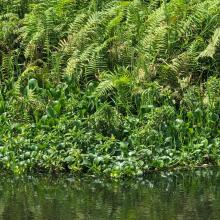
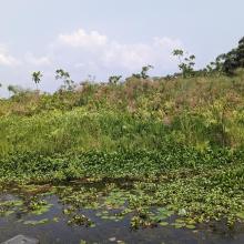
  3. Ebute Oni Coastal Wetland
    Ebute Oni Coastal Wetland
    Ebute Oni Coastal Wetland
    Ebute Oni Coastal wetland

    Ebute Oni coastal Wetland

    • País: 
      Nigeria
    • Fecha de designación: 
      01-03-2024
    • Número del sitio: 
      2564
    • Publicado hace: 
      0 year(s)
    103 ha
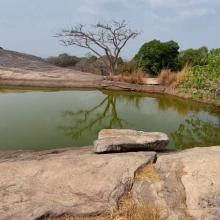
  4. A view of Iyake Lake
    Entrance of Ado hill

    Ado-Awaye (Iyake) Suspended Lake Wetland

    • País: 
      Nigeria
    • Fecha de designación: 
      01-03-2024
    • Número del sitio: 
      2550
    • Publicado hace: 
      0 year(s)
    165 ha
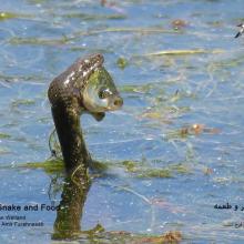
  5. Natrix tessellata hunting fish in Gandoman wetland
    Gandoman Wetland
    Phoenicopterus roseus in Gandoman wetland
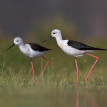
    Himantopus himantopus in Gandoman wetland
    Phalacrocorax carbo in Gandoman wetland
    Vanellus spinosus in Gandoman wetland
    Ardeola ralloides in Gandoman wetland
    Egretta garzetta in Gandoman wetland.
    Himantopus himantopus in Gandoman wetland.
    Podiceps nigricollis in Gandoman wetland.
    Fire Fighting station and Ranger station in Gandoman wetland.
    Bird watching tower in Gandoman wetland.
    Online Surveillance Camera in Gandoman wetland.
    Fulica atra in Gandoman wetland.
    Ciconia ciconia in Gandoman wetland.

    Gandoman

    • País: 
      Irán (República Islámica del)
    • Fecha de designación: 
      21-07-2024
    • Número del sitio: 
      2558
    • Publicado hace: 
      0 year(s)
    1,070 ha
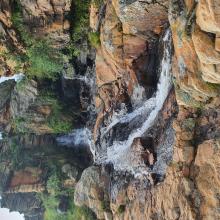
  6. A view of Arinta Waterfall
    A view of Arinta Waterfall
    Entrance to Arinta Waterfall
    Vegetation around Arinta Waterfall

    Arinta Waterfall

    • País: 
      Nigeria
    • Fecha de designación: 
      01-03-2024
    • Número del sitio: 
      2565
    • Publicado hace: 
      0 year(s)
    181 ha
  7. Northeast part of the lake. Open water, green algae and diving duck species are visible.
    waterbird habitat in Pyu Lake
    waterbird habitat in Pyu Lake
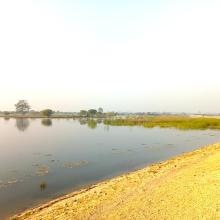
    Eastern part of Pyu Lake during dry season. Open water with algae and tall grasses are visible.
    Southern part of the Lake during rainy season
    Southern part of the Lake. Stands of reed mace and tall grasses with few waterbirds are visible.
    Northern part of the Lake. Open water with green algae visible.
    East to west part of the Lake Visible. Area with open water where villagers bathe and wash clothes during dry season.

    Pyu Lake

    • País: 
      Myanmar
    • Fecha de designación: 
      02-02-2024
    • Número del sitio: 
      2533
    • Publicado hace: 
      1 year(s)
    234 ha
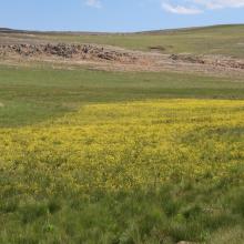
  8. Picturesque view of Sekhukhuneland from Steenkampberg Mountane grassland
    Groot Dwars River falls on the upper reaches of the Groot Dwars River
    Ibis falls on the catchment of Everest tributary of the Groot Dwars River
    Newly found plant, Bulbine decastroi, associated with wetlands
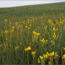
    Bulbine decastroi in full bloom in a wetland on DBNR
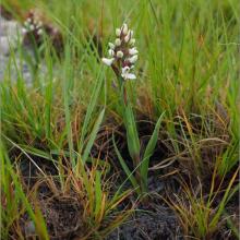
    Disa alticola a plant species of conservation concern with a vulnerable status found at DBNR
    Aloe Modesta, the only sweetly scented aloe in Africa, found on DBNR
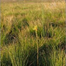
    Bright yellow inflorescence of Bulbine decastroi
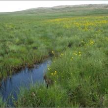
    High altitude sheetrock seep wetland found on DBNR
    Newly found, undescribed  Ledebouria sp. nov. ‘noritica’ ined. found on Sheetrock wetland habitat on norite on DBNR
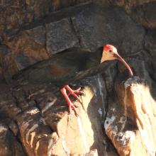
    Breeding colony of Southern Bald Ibis at Ibis falls on DBNR
    Southern Bald ibis chick on nest as well as an egg in an adjacent nest at the breeding colony on Ibis falls
    Bulbine decastroi with spectacular inflorescence
    Patches of Afromontane Forest
    Numerous hillslope seep wetlands occur at DBNR
    Clear waters of the upland rivers at DBNR

    De Berg Nature Reserve

    • País: 
      Sudáfrica
    • Fecha de designación: 
      02-02-2024
    • Número del sitio: 
      2532
    • Publicado hace: 
      1 year(s)
    1,265 ha
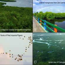
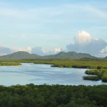
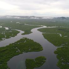
  9. Aerial view of the contiguous Del Carmen Mangrove Forest
    (A, B) Poblacion boardwalk and view deck overlooking the contiguous coastal forests and mangroves of Domoyog and Esperanza, which are vital roosting sites for the (C) Pied Imperial Pigeon, or (D) taking a boat tour through the vast network of channels that course between the mangeroves (Photo by JC
    Del Carmen Mangrove Forest

    Del Carmen Mangrove Reserve (DCMR) in Siargao Island Protected Landscape and Seascape (SIPLAS)

    • País: 
      Filipinas
    • Fecha de designación: 
      08-01-2024
    • Número del sitio: 
      2553
    • Publicado hace: 
      0 year(s)
    8,654 ha
  10. View of the lake
    Cercopithecus mona
    Malimbus ibadanensis

    International Institute of Tropical Agriculture (IITA)

    • País: 
      Nigeria
    • Fecha de designación: 
      01-03-2024
    • Número del sitio: 
      2551
    • Publicado hace: 
      0 year(s)
    53 ha

Páginas

Stats


Exportaciones

Exportar información sobre sitios

Para obtener una lista resumida en formato pdf de todos los sitios Ramsar, por favor hacer clic aqui.

Generar informes de sitios seleccionados

Se puede generar un informe según los filtros que se hayan aplicado, ya sea en formato pdf o xls. El informe ordena los resultados por nombre de sitio, a menos que se hayan clasificado por otra variable.

Para los archivos en formato pdf, se puede elegir si se desea incluir el texto de introducción sobre cada sitio, o si simplemente se desea mostrar los datos principales en un informe más corto.

Para recibir la lista de Sitios Ramsar que ha seleccionado en un archivo de Microsoft Excel, por favor proporcione su dirección de correo electrónico e introduzca en el recuadro el texto que ve en la imagen de verificación.

Tan pronto como la lista sea generada, recibirá un correo electrónico con el vínculo para acceder al archivo. Este proceso no debe tardar más de 10 minutos.